Glenridding and Ullwater are one of the must-visit sites in the lake district. Without transport, it’s isolated location gives it some degree of challenge in getting there too. A single public bus services, served by stagecoach departs to Glenridding 3 times daily excluding weekends. Visitors will have to endure roughly an hour long trip by bus through winding canyon roads, often surrounded by high mountains and thick fog.
Greggs sandwich bar in Windermere were having a breakfast meal special for £2, so we packed breakfast for the trip on the bus. Not only satisfying our hunger but killed time on the bus too. This is of course with no disregards to the jaw dropping views on the scenic route along Kirkstone Pass (A 592 ). They were breathtaking enough to keep us awing with every passing mountain.
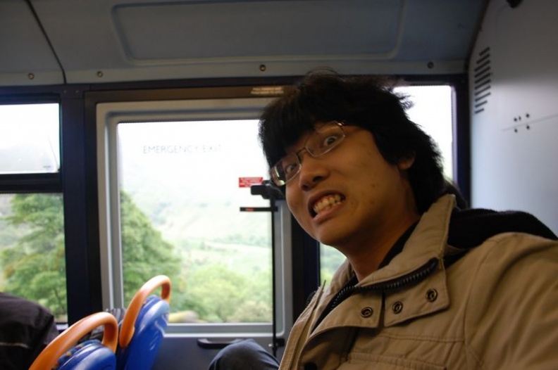
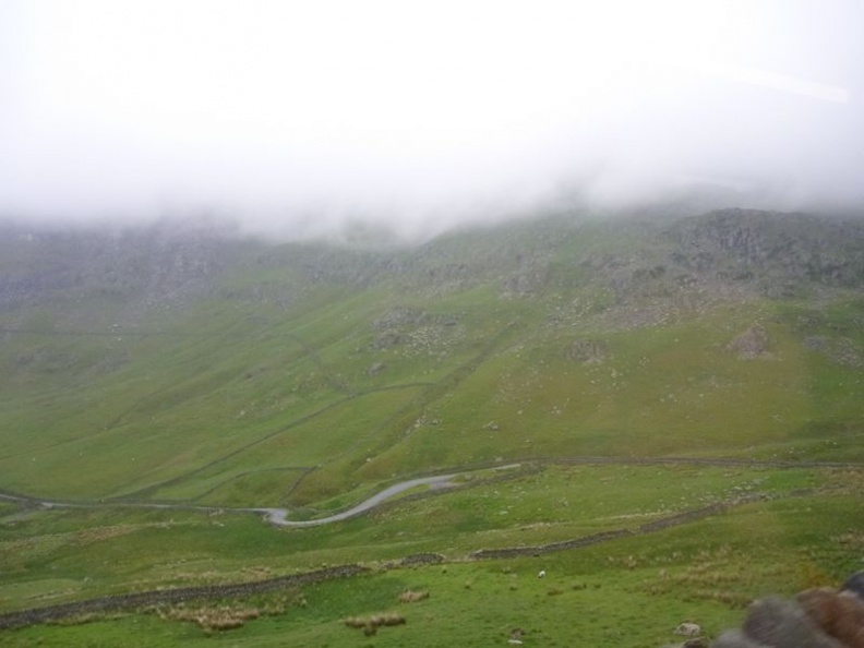
Winding between the mountains and snaking through the long passes and ravines, a drive through this road is definitely not for the faint of heart. Occasional bouquets of flowers seen left along the road to those who lost their lives on these roads. It started drizzling on our way there, adding to the hazard our our journey, but not much to a bother to the bus driver. His long days of plying the route allowed him to handle the route by second nature, skillfully navigating the large pass through the small narrow roads which you thought were nearly impossible to pass. You do really need to keep both eyes open on these mountainous roads.
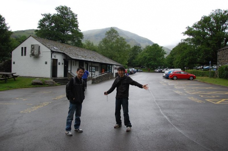
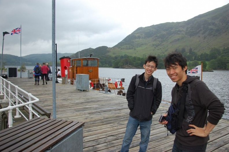
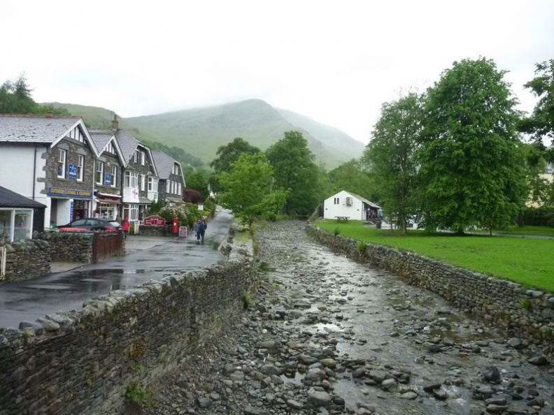
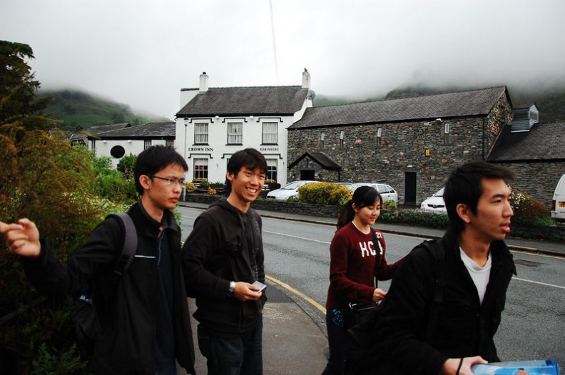
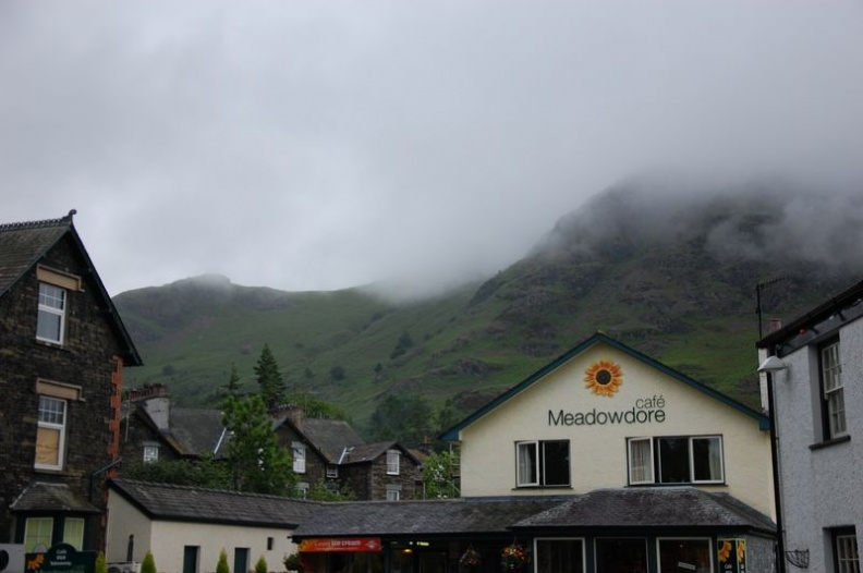
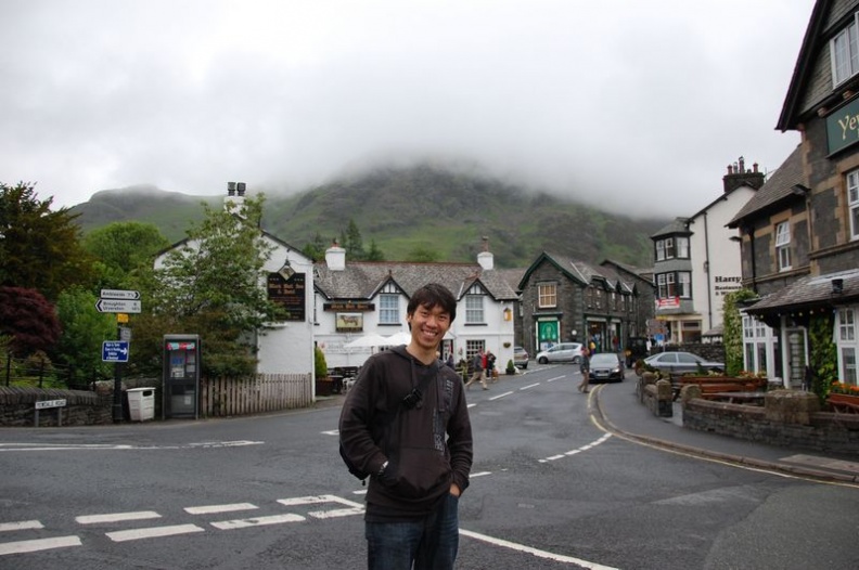
At our destination, the town of Glenridding is a very small nucleated town surrounded by a wall of cloud covered mountains. Just like most nucleated towns in the Lake district, the place is largely self contained tourist attraction complimenting the attractions in the area. Having said that, many shops and restaurants dot the town, serving the locals and guests alike. The place has quite a number of parked caravans too.
The whole town is surrounded by ever looming mountains, which drafts the settlement, their size beckoning a memorable trekking experience awaiting in the surroundings. There are also a number of gift and outdoor/trekking equipment stores littered around town too, an indicator and clue of the town’s main economical focal point and it being quite a tourist orientated site too. The main road of Kirkstone (where we came from) runs pass this town and the 2 main attractions Glenridding has to offer, namely the Ullswater river cruises as well as the challenge in in taking on the nearby mountains.
We approached the information and visitor’s center for directions to nearby iconic mountains the staff there were very helpful in setting out a small itinerary for the given amount of time we intend to spend here in Glenridding. Besides serving as a recuperation point, the visitor center also sells maps, camping and navigational equipment.
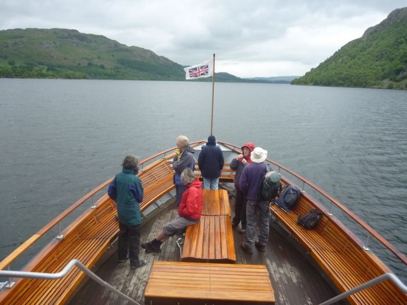
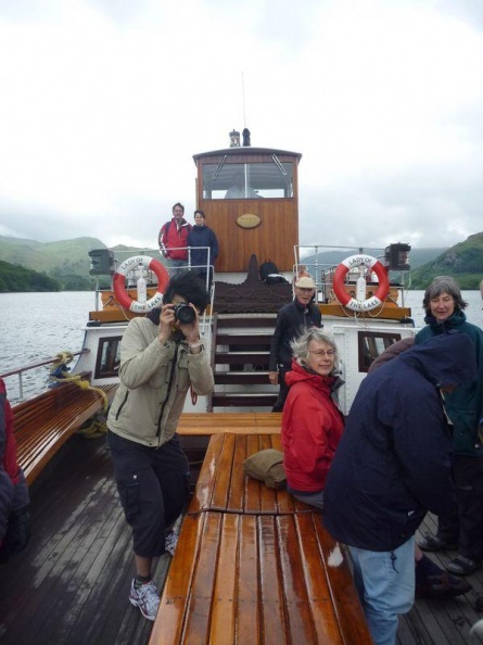
The highlight of our trip there will have to be the river cruise, we boarded an authentic steamer boat called the “Lady of the lake” with more than 150 years of history behind her. Much of her past and history were proudly showcased in the bowels of her interiors, which is also home to covered seating areas and a mini bar. Her forward and aft are open observation areas, offering unobstructed breathtaking views of the the sights along the lake as she chugs along the Ullswater lake, England’s second largest lake.
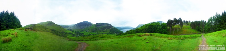
A parnoma of the views from the ship’s deck top can be seen below:
Onboard Lady of the Lake Steamer at Ullswater.
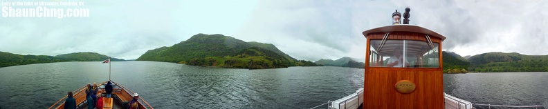
Many regard Ullswater as one the most beautiful of the English lakes, even surpassing Lake Lucerne in Switzerland. The popular sailing spot forms the border between the ancient counties of Cumberland and Westmorland. It is a typical Lake District narrow “ribbon lake” formed after the last ice age when a glacier scooped out the valley floor and when the glacier retreated, the deepened section filled with meltwater which became the lake we see today. The surrounding mountains give Ullswater the shape of an elongated ‘Z’ with three distinct segments that wend their way through the surrounding mountains, providing new sights on every bend throughout the steamer’s course.
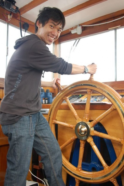
There is much to explore on board the ship too, we got to meet and chat with many of the trekkers on board the ship, who notably are mostly retires spending their golden years climbing mountains- something we can’t even get to do back in Singapore! The crew were a joy to talk too, we got to talk to the skipper and the linesman on deck, learning much about their lifestyle, history and culture here on the lakes. The captain even allowed us onboard the bridge and gave us a crash course on marine navigation, piloting as well as explaining the various controls of the ship to us. I was even given the opporutnity to take control of the ship too!
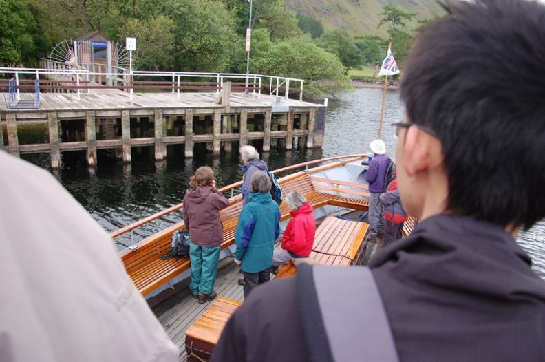
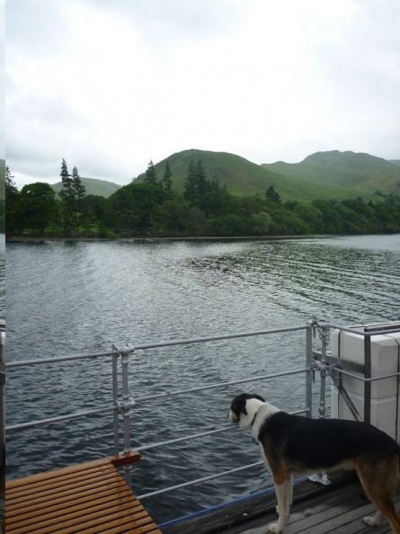
The steamer will take us on a full course of the lake and back again, a trip lasting about 2 hours. There are intermediate stops throughout the route, allowing visitors to disembark from the ship at any time to explore river-side pubs or settlements or scale the various mountains lined throughout the lake itself. There are 3 stops in all along the lake. We spotted quite a number of mountain climbers along the distant hills who always waved back whenever any of us started waving to them.
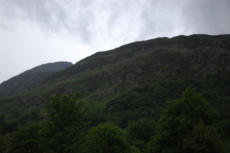
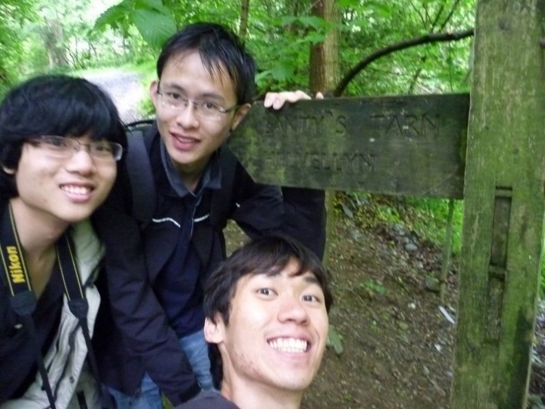
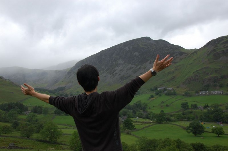
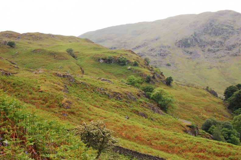
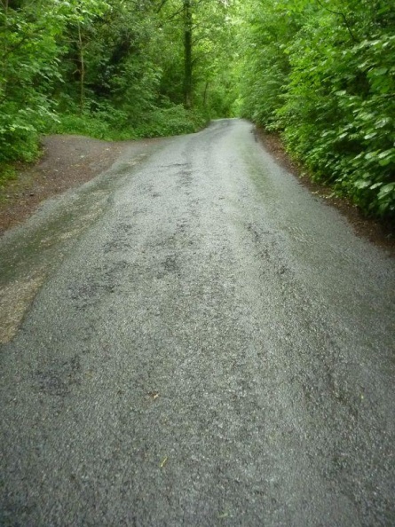
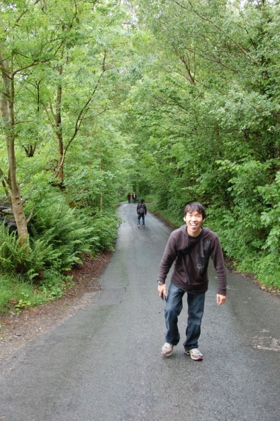
With the river tour completed, it started drizzling quite abit. We left the steamer grounds and made our way towards the nearby mountains, where we embarked on a short climb up towards Helvellyn through Birkhouse Moor. The climb is largely manageable and well directed with signs, and demarcated with gates, trails and stone paths along the way up the mountain.
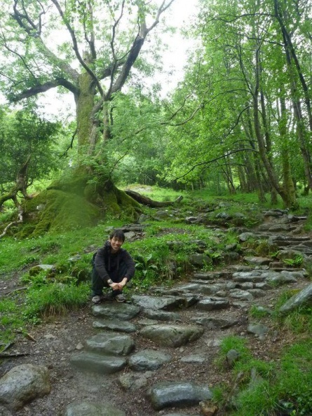
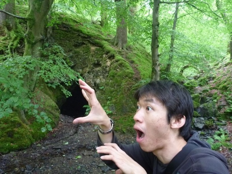
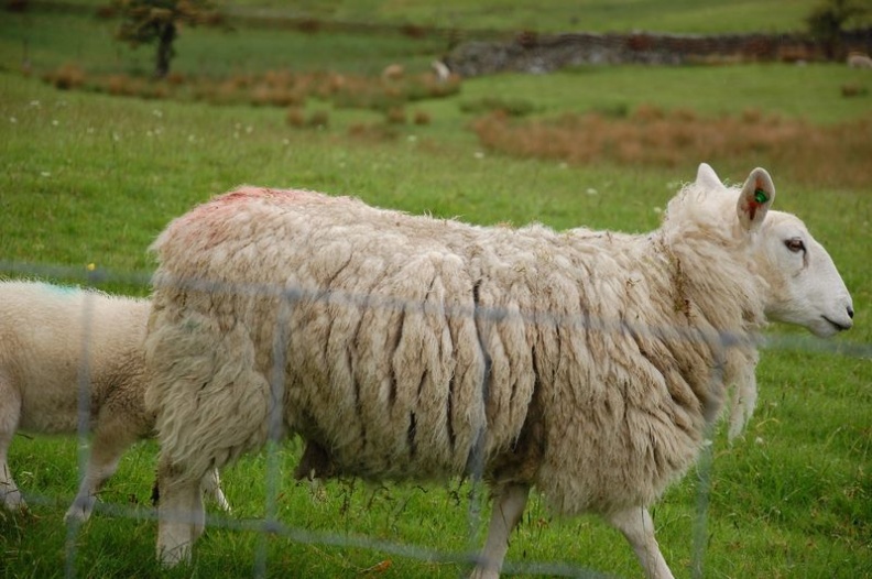
The trek started passing by several residential areas and past a stream before breaking up to a path uphill. There we passed several open plains home to grazers and sheep. The trail thereafter led to a forested area accessible by a wooden spring-loaded park gate. There, a stoned cobble path brought us up further uphill through the woods. Offering much needed shelter from the pounding drizzle, which didn’t quite drenched our sense of exploration. There, we found a rather cool looking ancient tree led up by a slippery stone path (which proved quite a challenge getting a foothold in the rain).
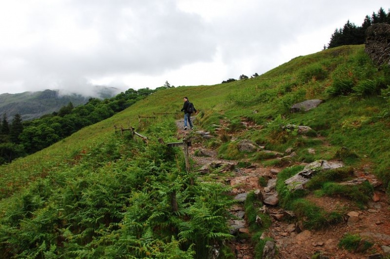
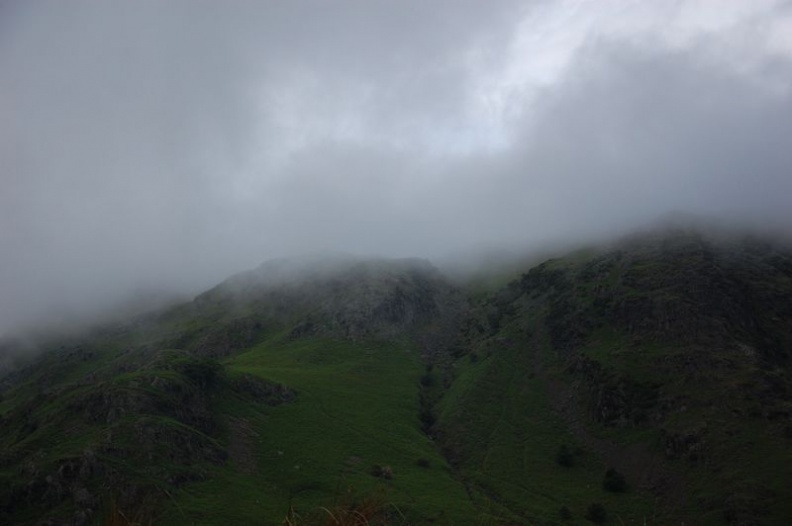
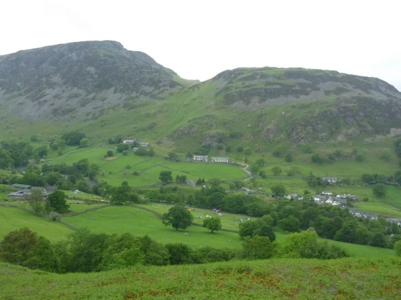
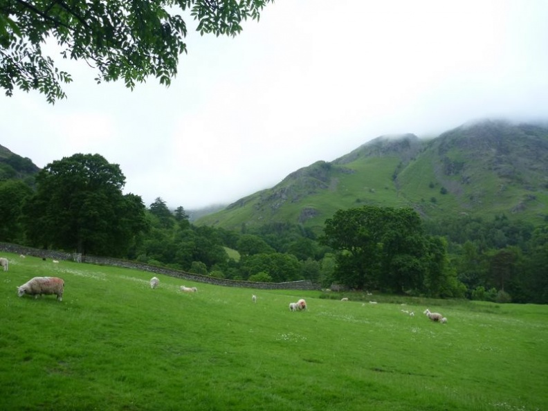
The views just get better which every upward climb. At the top, we were treated with a fantastic view of the adjacent mountains, flanked by a gorgeous valley on the left and the Ullswater lake on the right. The town of Glenridding sits humbly between these 2 great features drawfted by the surrounding mountains. The air is cool and moistened from the rain the patter of rain in the background simply just paint absolute tranquility at one in the highlands with mountains. You can view a 360 degree photostitch of the sights near the top of the mountain.
Glenridding-Helvellyn.
Notably surprising, nearly on our way to the peak of the Moor, it suddenly stopped raining, only to start pouring again on our way down. We came to conclusion that with us nearly walking in the clouds on the highlands at some point, we could have passed a point where we even climbed above the clouds to avoid the rain. Our trek up the mountains took about 2 hours, staying up there exploring the nearby forests and the nearby Helvellyn with some time to spare.
It was not long where we finally made our way down from where we came from, which actually took much longer than expected given the slippery surfaces downhill which added to the step hazard, we took extra precautions and went down slower. We eventually made our way back down to the Glenridding visitor’s center and catching in time, the last direct bus back to Windermere.
It’s another long hour long bus trip back to windermere, but the clouds and fog on our journey back was so bad, visibility is limited to the most 5 meters in front of the bus. But that was nothing much of a hindrance to our bus driver, who skillfully tackled the impending dangers (not to mention cars suddenly appearing out of nowhere). From my observations, always approaching narrow single lane roads with great caution, given the chances of a head-on being too high in such conditions, these are some of the things I learnt traveling on these dangerous roads. Glad we made our way back safety.
We heard much about Bowness in Furness and it being a nice city area south of Windermere to chill out, with intial plans to spend the evening and dinner there. It was not until when we were kindly approached a friendly local in Winderemere while waiting for the bus there where she gave us her frank recommendations to explore other better sights around the area other than Furness, which is totally a dead down that day. She gave her thoughts on the grounds as a native resident of bowness herself. “You will be disappointed when you get there” she said.
In place, she also gave recommendations to check out other better sights around the district, such as Coniston. Coincidentally we had some friends traveling on a separate group in the vicinity visiting the area as well. We joined their group on another hour long jouney towards the little town of Coriston, with the Corniston falls and the old man montains as highlights.
Coniston is a village in the region of Furness, England. It is located in the southern part of the Lake District National Park, between Coniston Water and Coniston Old Man; about (29 km) north-east of Barrow-in-Furness. Coniston grew as both a farming village, and to serve local copper and slate mines. It grew in popularity as a tourist location during the Victorian era, thanks partially to the construction of a branch of the Furness Railway, which opened to passenger traffic in 1859 and terminated at Coniston railway station not too far away.
We passed few landmarks, such as the St Andrew’s Church, the Black Bull and Church Beck without much local knowledge of the ground and without a map. We took to the local knowledge of the whereabouts of the Coniston waterfall (Furness Fells), something strangely not listed in my iPhone GPS. Many people there surprisingly do not know of a waterfall in the area, with most of them in the eateries and petrol station clueless of the attractions in the area. Thankfully, we told by some elder locals in a pub directions to the Coniston waterfall.
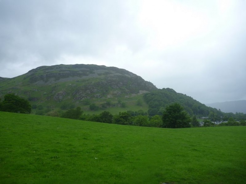
Coniston is a popular spot for hill-walking and rock-climbing. Hill climbing it is- the route we took up towards the waterfall were extremely steep- the steepest we’ve ever encountered so far about 30 to 40 degrees in gradient, you can literally climb this never ending stretch almost completely leaning forward throughout. These are few of the fine walks to be had on the nearby Furness Fells and Grizedale Forest. The Grizedale forest is a small wooded area which runs along side a stream and is home to some of the finest rock in the Lake District on the eastern face of Dow Crag, three miles from the village.
Disappointingly, the waterfall is not really flowing, it’s essentially a mini stepped rapid reduced to a trickle with a small cave hole beside it, so much of a waterfall! The sights of the mountains in the region pretty much made up for everything though, with sights you can never be sick of, there we were able to catch iconic mountains, such as the Coniston old man.
We carried on walking along the road towards the highlands, apparently this road is popular with off-road vehicles, with many 4×4, particularly jeeps and land rovers taking on the steep slopes and challenging their way up to scale the old man. No wonder, as the roads here are actually stages of the Grizedale rally held in Coniston itself. We left the area just before sunset and in time to catch our return bus trip back to Windermere where we treated ourselves after long day of traveling to freshly caught local trout from the lake itself.
Cheers!
Check out more great views of Glenridding, Ullswater & Coniston in it’s photo gallery here.
- Windermere
- Ambleside
- Glenridding, Helvellyn, Ullswater & Coniston
- Keswick & Grasmere
- Rydal water & Cave